Hopp til innhold
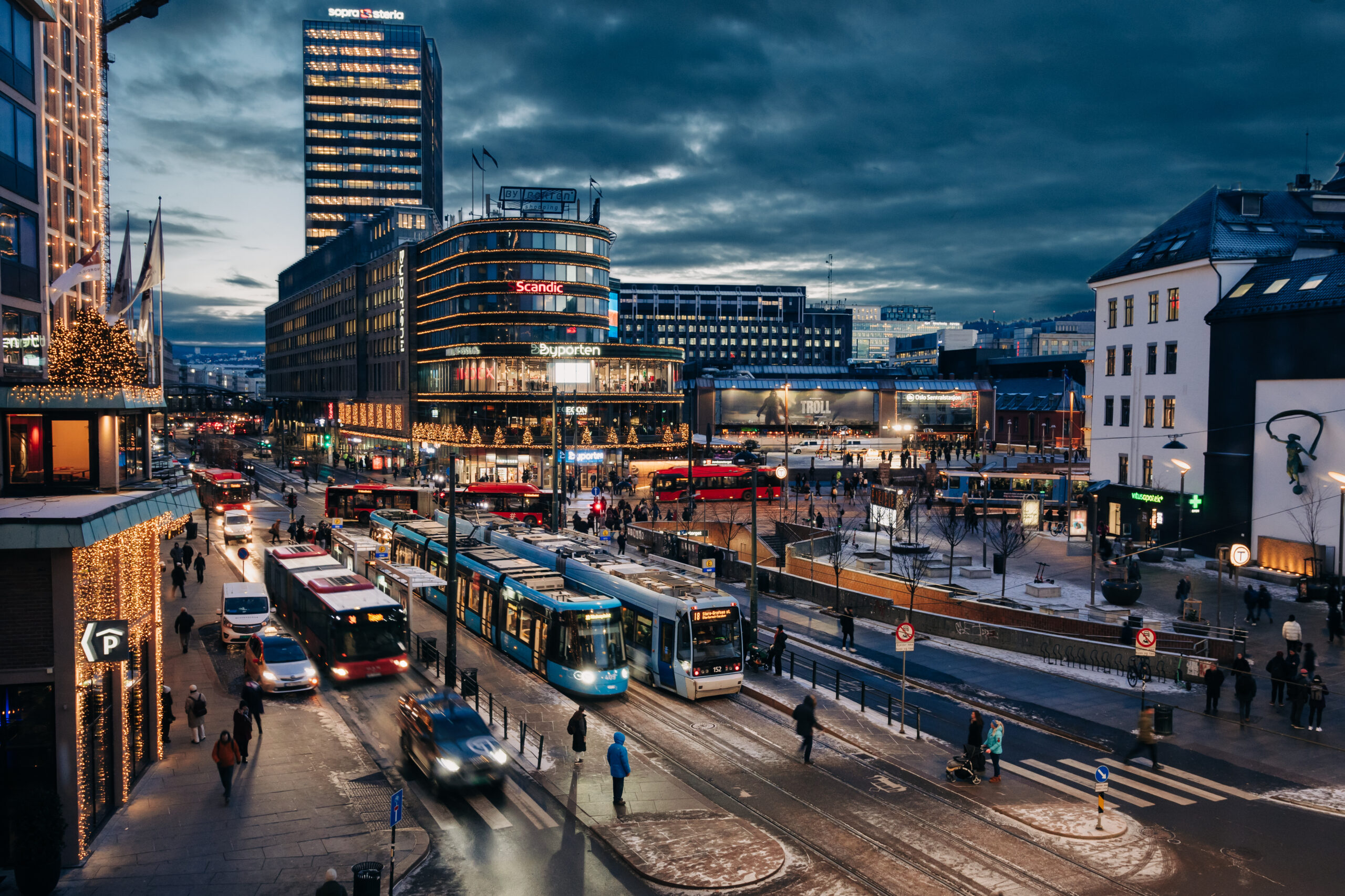
View from above of Jernbanetorget at dusk with trams, buses and cars.

Photo: Ruter As / Nucleus, Erland Skui

Integrated planning provides a better public transport service

Ruter's ambition to increase mobility for everyone has influenced how we work, plan and prioritise future investments in public transport. Integrated planning will allow us to provide customers with an even better public transport service.

An attractive public transport service includes high frequency, good punctuality and short travel time, as well as adequate accessibility. To achieve this, we need proper and good infrastructures.

The planning and development of infrastructure must be based on the route network and routes offered, and routes and stops must be seen as part of an overall structure – which also includes other modes of transport. Key to this work is to obtain knowledge about our customers’ wishes and needs.

Getting to where you want to go is decisive

Being able to reach a desired destination, accessibility, is an important aspect of travel time and predictability for travellers. This is crucial for providing an attractive public transport service. Time is a scarce resource for many, and delays are perceived as a major inconvenience in everyday life – whether you experience uncertainty about arriving on time, or actual delays occur.

By improving accessibility, public transport is streamlined. We get better utilisation of vehicles, which enables us to increase our offer with the same number of vehicles. Buses that are not stuck in traffic can make more trips in one hour than a bus that is not moving. The same number of buses will thus be able to offer a higher frequency at approximately the same cost.

Strong accessibility measures

Strong Accessibility Measures (SAM) is a collaborative project between Ruter and the Municipality of Oslo’s Agency for Urban Environment, which was started in 2013. The purpose is to identify challenges for public transport and implement measures that provide shorter travel times and increased predictability for buses and trams in Oslo.

Read more about Strong Accessibility Measures on the Municipality of Oslo’s website.

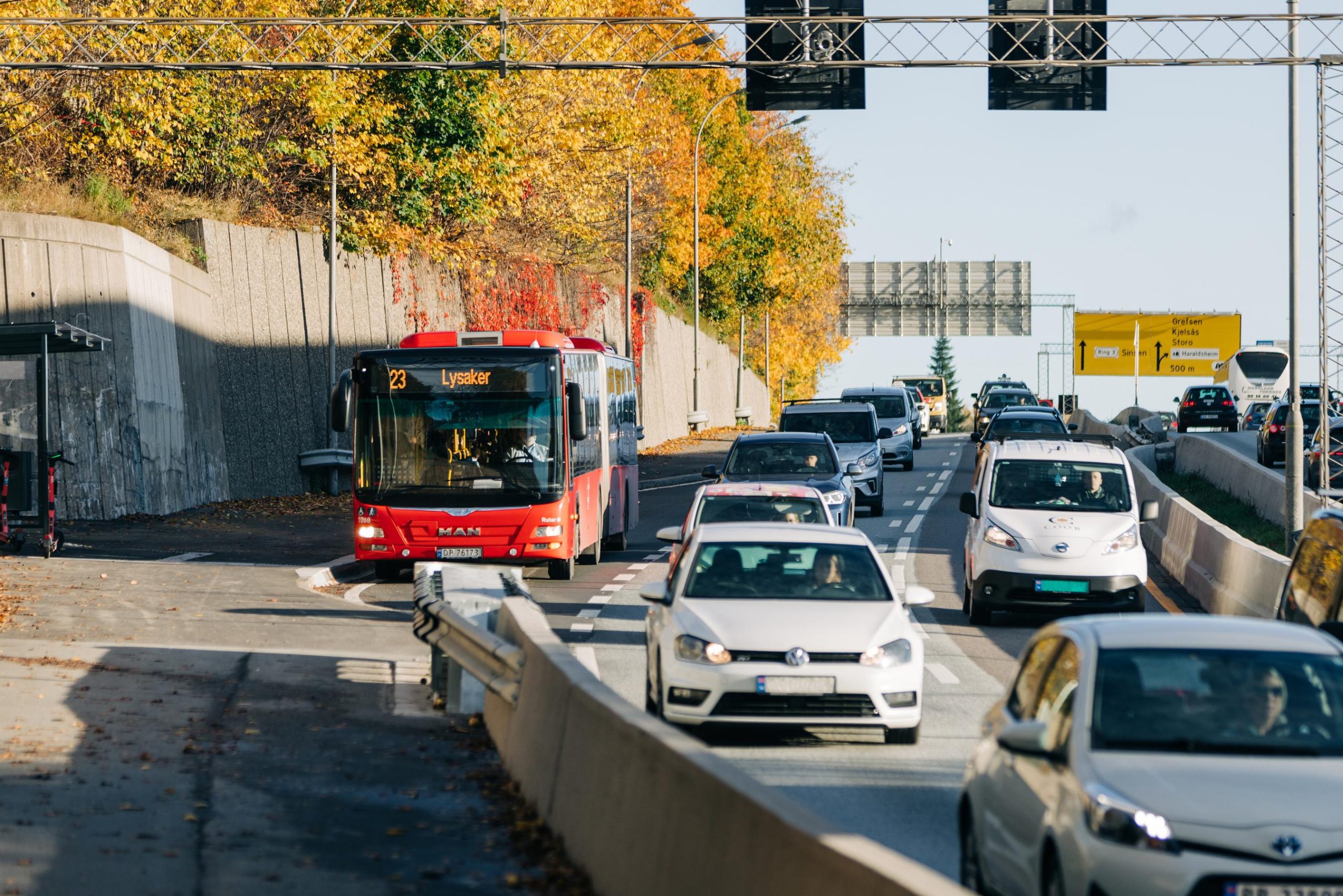
Ruter city bus driving on a busy road.

Photo: Ruter As / Nucleus, Erland Skui

Ruter has carried out several accessibility projects in recent years, throughStrong Accessibility Measures and other projects in cooperation with the municipalities, the Norwegian Public Roads Administration and the County Municipality of Viken.

In 2022, MNOK 20 was set aside in reward funds for the implementation of accessibility measures in Oslo. The reward scheme is part of the urban growth agreement for Oslo and Viken, where the Municipality of Oslo and the Viken County Council decide where the money would go.

In 2022, measures were developed for the routes of bus lines 25, 79 and 81 – following input from the Agency for Urban Environment, Sporveien, the bus operators, the Norwegian Public Roads Administration and Ruter. These are new measures in Package 7 for SAM.

We also sent out customer surveys through a digital tool called Citizen Dialogue (Innbyggerdialog), where users could share their travel experiences from the various bus lines.

Our customers used the surveys to describe problems with the lines and routes, as well as suggested measures to reduce delays. The input resulted in a report, which the Agency for Urban Environment will use further in the implementation of the measures.

One of the recommendations in the Ruter Accessibility for Public Transport Report for 2021 was to establish an organization similar to SAM in the regional towns of Asker, Sandvika, Lysaker, Lillestrøm and Ski – with representatives from the County Municipality of Viken, Ruter, the Norwegian Public Roads Administration and the municipality in question.

In 2022, the Flyt100 Collaboration started between the County Municipality of Viken, the Municipality of Lørenskog, the Municipality of Lillestrøm, the Norwegian Public Roads Administration and Ruter, which identified immediate measures for accessibility for lines 100 and 360 in the area of Furuset, Lørenskog, Strømmen, Lillestrøm and Skedsmokorset. The report will be completed in the first half of 2023.

Viken County Council has been conducting an ongoing, long-term project to plan priority public transport from the Oslo border to the town of Kjeller. Ruter participated in this work.

In March 2022, the Ministry of Transport and Communications commissioned the Norwegian Public Roads Administration to start a study with a broad perspective and impact assessments to determine which vehicles should have access to bus lanes.

In connection with this, the Norwegian Public Roads Administration, in cooperation with the Municipality of Oslo and Ruter, started work to look at the prioritisation of public transport and emission-free heavy transport. Together, we will evaluate which other vehicles should be given access to the bus lanes, as well as different principles for signage. This will form the basis for new regulations.

Active signal prioritisation is an effective tool, giving buses high priority through intersections. Work is underway to implement a new prioritisation system. This is a collaborative project between the Agency for Urban Environment, the Norwegian Public Roads Administration and Viken, where Ruter is also involved.

Mitigation measures in case of closure of Ring 1

There is considerable uncertainty as to how the planned closure of the Ring 1 highway around downtown Oslo will affect accessibility in the period 2024-2027. Ruter is working to identify mitigation measures in cooperation with the Norwegian Public Roads Administration and the Agency for Urban Environment.

Accessibility in Oslo and Viken

The table shows the ratio of actual travel time versus ideal travel time, i.e. travel time without delays. City buses, for example, have a 31% longer journey time during the afternoon rush hour.

City busRegional busTramTotal
Morning25%15%28%20%
Afternoon31%19%29%25%
Peak hours38%17%29%22%
Off-peak hours17%9%22%14%
Day total20%12%23%16%

Available stops

The stops are an important part of the travel chain. Design and placement affect road safety, trafficability, and not least accessibility for customers. And in 2022, this has been the main focus of Ruter’s work on improving bus stops.

Through Ruter’s major awareness and knowledge project, Sustainable Mobility for Everyone, the Department of Planning and Infrastructure has gained increased understanding and insight into the fact that bus stop design that helps everyone to travel by public transport, regardless of functional level, is essential for increased public transport. We have changed the way we plan, assess and implement measures in this regard.

We have also hired a dedicated accessibility project manager who will have work across disciplines in the Department of Planning and Infrastructure, and be a resource for other departments in Ruter. The project manager also works on own projects, focusing on increased accessibility and universal design.


How we worked to create better stops in 2022

Ruter has made many bus stops along these roads more accessible in 2022:

Oslo’s municipal roads:

  • Plogveien
  • Tangerudveien
  • Bygdøyveien
  • Lindebergveien
  • Risløkkveien
  • Huk end station
  • Tonsenhagen torg
  • Enebakkveie
  • The outer ring road
  • Tåsenveien
  • Langbølgen


State roads:

  • Mortensrudkrysset
  • Lillo Terrasse
  • Nydalen
  • Husebyveien
  • Montebello East and West

Ruter and Sporveien work together to adapt stops to the new trams and raise standards and accessibility for more user groups. A total of about 80 platforms will be built. Approx. 60% are already completed by the end of 2022, and work will continue in 2023. The project has a budget of MNOK 129.
In 2022, Ruter and Sporveien have also collaborated to map the accessibility gap at the tram’s remaining stops. The next step will be to create a prioritised action plan for upgrading.

Large parts of the screen park (SIS) are ready for replacement, since 2G will be shut down in 2025. Replacement with modern screens will increase accessibility for everyone and represent a clear improvement for the visually impaired, among others.
There is now a need to plan for which screens will be replaced, which will be removed and where new screens will be installed.

During the autumn, the Digital Screens Strategy Project will have mapped out the current situation, customer needs and the usefulness of measures. Ruter has conducted cost analyses and proposed the way forward for digital screens in the context of Ruter’s overall strategy.

In 2022, Sporveien began work on improving the foot gap between the wagons and platforms at several stations. Construction can now begin after the metro station mapping project ended. Brynseng will be first, starting in the spring of 2022. For the period 2022 to 2024, the stations at Høyenhall, Brynseng, Ullevål and Blindern, Holstein, Eiksmarka, Nationaltheatret, Kalbakken and Stovner will be improved.

Four measures are intended to make metro stops more accessible: Better lighting, information and access, as well as repairing the gap between the train wagons and the platforms.

Since 2020, Ruter and Sporveien have collaborated to map 101 metro stations by registering physical design, safety and functionality, as well as universal design and access. The mapping will be used to prioritise future upgrades that make the stations more accessible.

The mapping phase was completed in the summer of 2022, and analysis and prioritisation work were completed in the autumn of 2022. Measures will be implemented at the metro stations in 2023 and 2024.

It is largely financed by subsidies from the Accessibility Project for the Municipality of Oslo.

Cooperation on bus stops

In Ruter’s area we have about 7500 platforms (4000 stops), but Ruter only has formal responsibility for the infrastructure at bus stops in Oslo.

The operation, maintenance and management of stops is a major collaborative project. For example, maintenance and development of the infrastructure in Oslo take place through extensive cooperation with Sporveien.

Through a tripartite agreement, administrative responsibility for bus stops on municipal roads in Oslo has been transferred to Sporveien, and responsibility for needs and financing has been transferred to Ruter. Ruter orders and transfers funds to Sporveien, which plans and carries out maintenance and upgrade work at the stop.

Ruter also enters into agreements with the Norwegian Public Roads Administration, the Municipality of Oslo and Sporveien for the construction and implementation of measures. In the County Municipality of Viken, it is the road owner who operates and maintains bus stops.

0 million
for accessibility

In 2022, Ruter received 10 million NOK in support from Oslobygg for measures to increase accessibility. The funds will be used for project design and planning in 2022/2023, and implementation in 2023.

Ruter will use the money for three improvements at stops:

  • Improved accessibility at Jernbanetorget
  • Guide paths
  • Benches

Knowledge acquisition and data on stops

Stop data serves several purposes in Ruter. First and foremost, data about stops is used to communicate availability status in the Ruter app.

The availability status depends on a number of criteria regarding the physical infrastructure of the stop, such as whether the stop has a guiding line, whether the platform has a height and width that allows for entry by wheelchairs via ramps.

The infrastructure at a stop is of great importance for whether boarding and disembarking is possible for people with disabilities, or others who need seamless boarding and disembarking – for example, customers travelling with luggage or prams.

Another important purpose of stop data is to gain insight into the «accessibility gap» within Ruter’s stop infrastructure, and to set the right priorities for upgrading work. It will take time to upgrade the stop infrastructure, and it is important that we start work where the customer need is greatest.

More efficient data collection

We have been working throughout 2022 to further develop stop data. One of the goals has been to make data collection faster and more efficient.

That is why we have developed an inspection module that enables external suppliers to carry out inspections at our stops – with data flow going directly into our stops database: RuterStopps.

We have also developed a crowdsourcing module that allows Ruter’s travellers to use QR code scanning to respond to user surveys at specific stops – with data flow going directly into RuterStopps.

This enables us to map a large number of stops more cost-effectively, at a lower cost than before, by involving the public.

Summer interns made a significant contribution

During the summer of 2022, Ruter employed four students with various disabilities. They made a substantial contribution to the planning and infrastructure department by working on issues related to Ruter’s ambition of creating public transportation that can be used by everyone.


Mapping continues

An external supplier has mapped approximately 450 bus stops in 2022 (of which 88 are in Viken), in order to obtain information about the stops that can be presented as availability information to customers.

Our ambition for 2023 is to map the remaining platforms in Ruter’s catchment area in Oslo and Viken.

We have also received survey data from all the metro stations in 2022, carried out and ordered by Sporveien. The data has now been processed and is available in our stops database, RuterStopps. Now we will define criteria for availability and put in place accessibility information in the app, also for the metro. Work on designing a solution in the app will start in Q1 of 2023.

New analysis tool for stop data

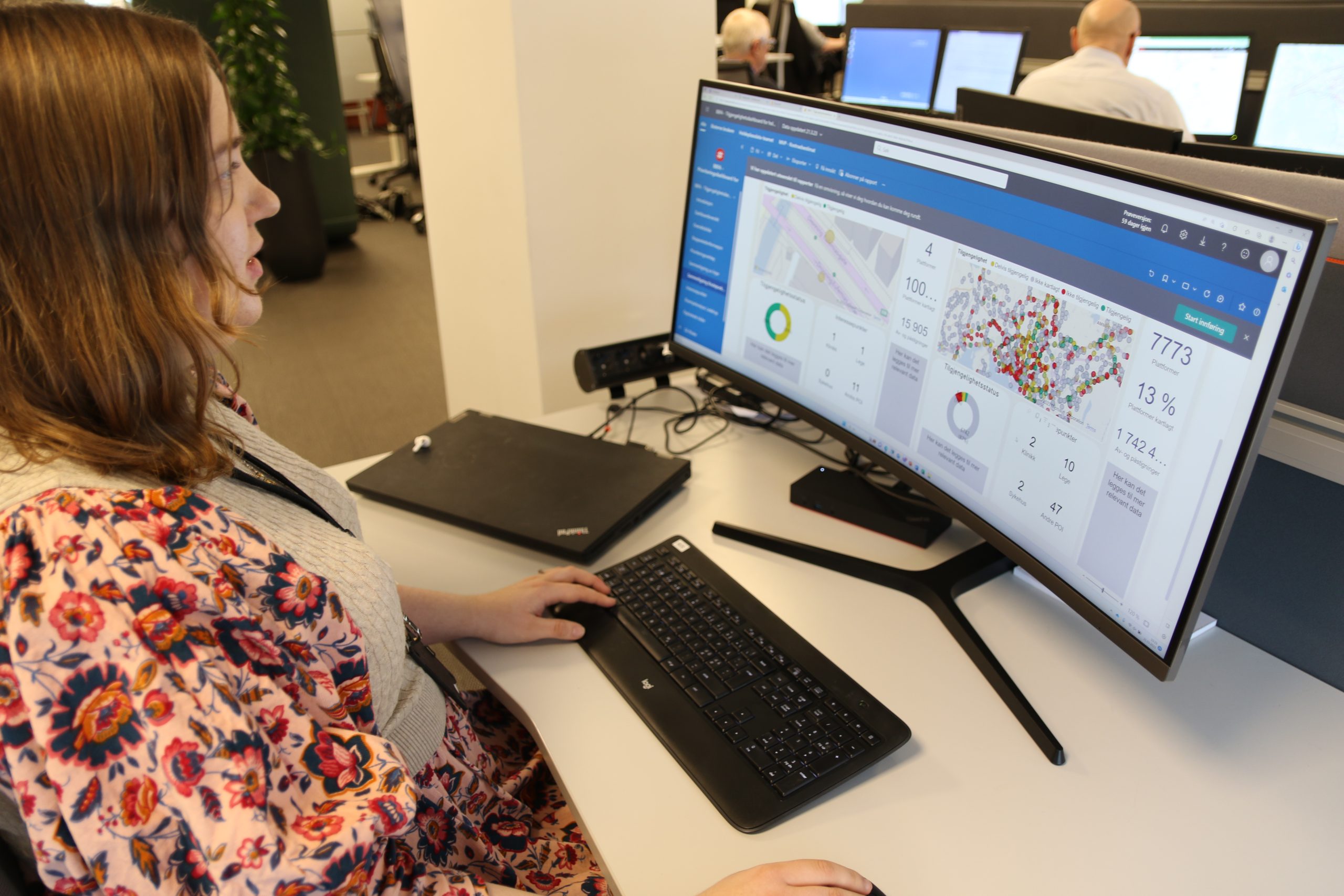
An important milestone in the work with stop data is that we have put in place a new analysis tool that will make it easier to prioritise which stops have the greatest need for better availability and upgrades.

The tool provides continuous status on the degree of stops available, and automatically prioritises which stops should be upgraded first.

Woman looks at a computer screen showing a new analysis tool for bus stop data.

Photo: Ruter As / Knut-Martin Løken

Standard for bus infrastructure

In 2022, Ruter completed a guidebook for the design of bus infrastructure and shared tram and bus stops. The guidebook covers everything from stops, intersections, and interchange points to facilities for drivers at terminal stops. It is based on customer needs and the goal of accessibility, serving as a tool for anyone involved in planning and constructing public transportation infrastructure in Oslo and Viken.

New strategic tool for route planning

Ruter continuously gathers data and information to develop the service offering. To make the best use of this information for the customers, tools and methods are being developed.

Based on Ruter’s vision, the offer strategy, the zero-growth target, and other overarching strategies, we have established a tool in 2022 for the development and planning of mobility services in the short and long term.

The Strategy for Mobility Services (SMT) is a framework for Ruter’s work on service development and provides input for both internal and external processes – such as route changes, tender processes, and prioritization of infrastructure measures.

Analyses and professional foundations are presented in a map narrative, which is available on Ruter’s website.

Accessible and emission-free means of transport

Much remains to be done before the physical infrastructure is available to everyone, regardless of functional abilities. But when it comes to means of transport, it is now only a matter of time before universal design is standard for all buses, boats and trams in Ruter’s area.

The same applies to emission cuts:

Virtually all means of transport in Oslo will be electric by the end of 2023. All boats in Ruter’s area will be electric by the end of 2024. All means of transport in Ruter’s area in both Oslo and Viken will be electric in 2028.

New trams

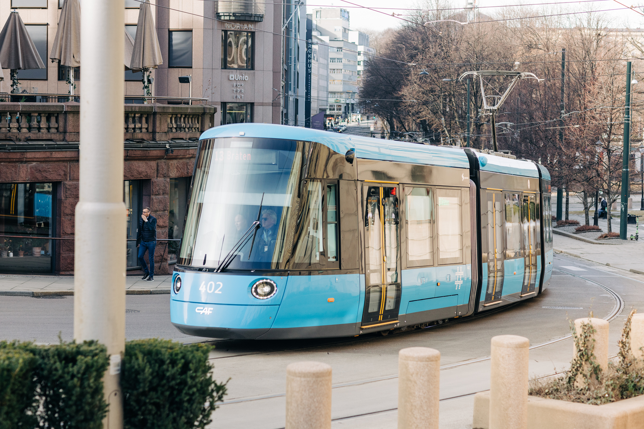
Oslo will be filled with new trams in 2023. Phasing in the new trams started in 2022. So far, 15 trams have been delivered, and the plan is for 87 new trams to be in place by the end of 2024.

Among the advantages of the new trams is that they can carry many passengers within a smaller space, and that they are universally designed. The combination of high capacity, space-efficiency and accessibility means that the tram is intended to play a key and important role in Oslo’s future mobility services.

Today, the new trams run on line 17/18 between Grefsen Station and Rikshospitalet. In 2023, new trams are planned to be phased in on line 12 between Majorstuen and Kjelsås, and on line 19 between Majorstuen and Ljabru.

One of the new trams runs in central Oslo.

Photo: Ruter As / Nucleus AS, Daniel Jacobsen

New island ferries

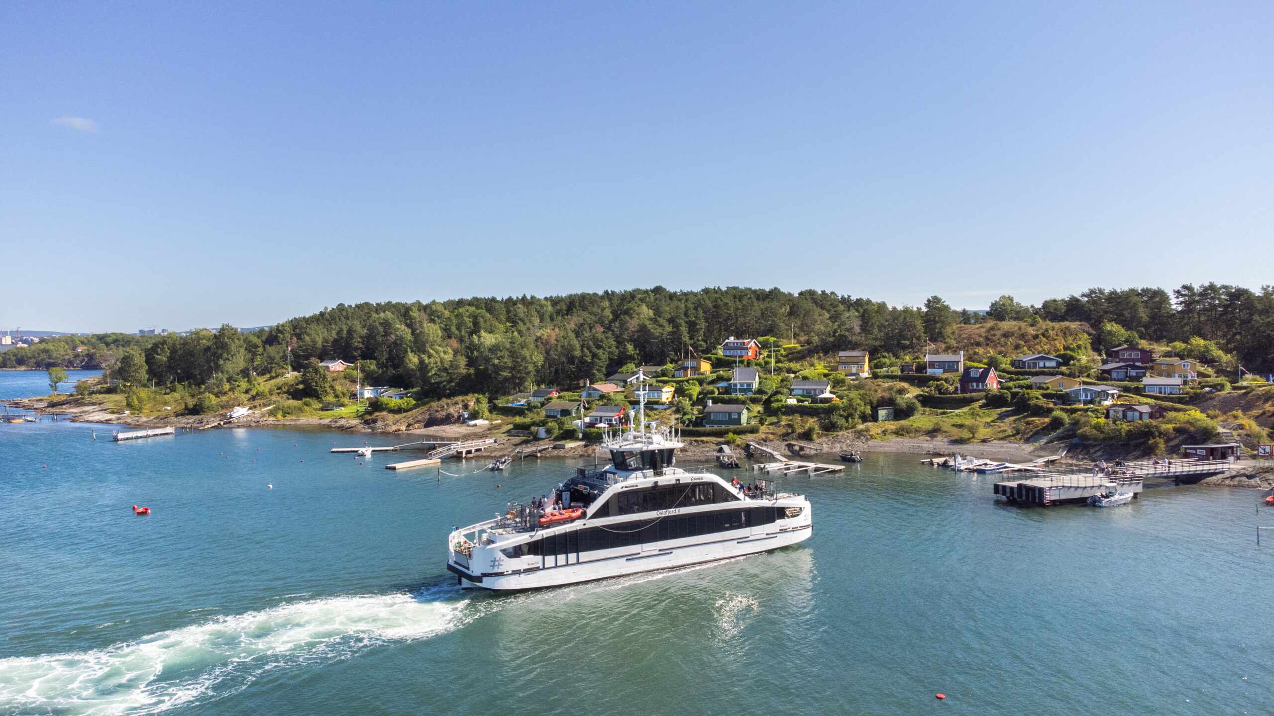
2022 saw five new electric ferries enter operation in the Inner Oslo fjord area – making Ruter’s island ferry services 100 % electric and universally designed.

A few initial challenges were encountered, but by the summer of 2023 all ferries were operating as planned.

The new, all-electric island ferry on its way to shore.

Photo: Ruter As / Nucleus AS, Ganesh

New express boats

The main connection between Nesodden and Oslo has been electric since 2019. At Nesoddtangen, the terminal building was upgraded in 2022 with better solutions for boarding and disembarking.

The express boat service is still running on diesel, but work to convert the boats to electric operation will start in 2023. The plan is that all boats operated on behalf of Ruter will be electric from 2024. Plans call for a fully automatic replacement of the batteries at the landings at Aker Brygge, Nesoddtangen, Drøbak and on a brand new landing at Slemmestad.

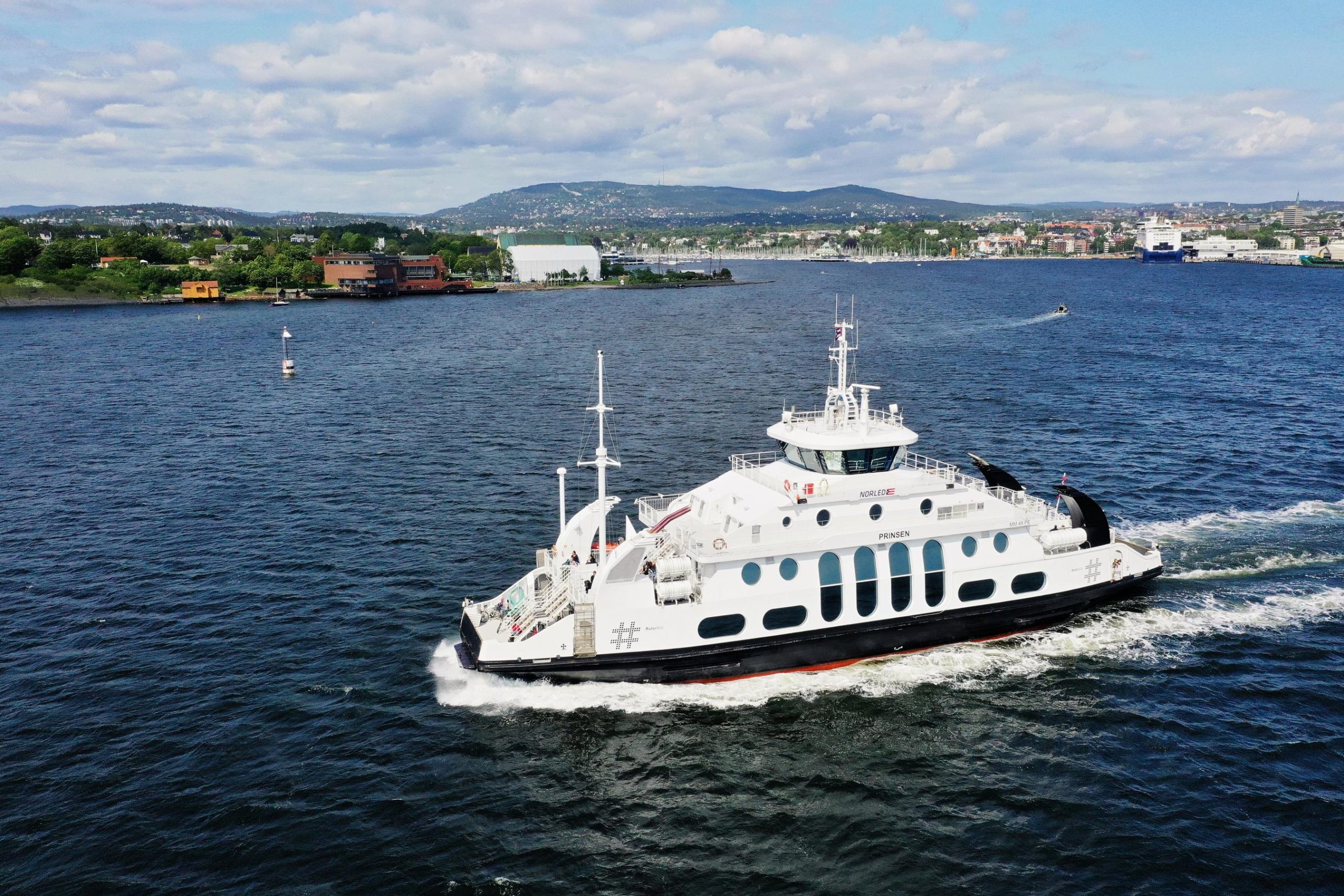
Island ferry on the sea with land in the background.

Photo: Ruter As / RedInk, Fredrik Christensen

Public transport of the future

The public transport system of the future is being planned today. Several major infrastructure projects will be implemented in Oslo in years to come.

Oslo Transport Package 3 is an overall plan for road development and development and operation of public transport in Oslo and parts of Viken in the period 2008 to 2032.

New supplementary agreement to Oslo Package 3

In May of 2022, the Municipality of Oslo and the County Municipality of Viken signed a new supplementary agreement to Oslo Package 3. There was agreement on the need to increase financing via tolls, among other things to secure funding for the Fornebu Line – and to continue working on the knowledge base for renegotiating the agreement in 2024, with a view to greater goal attainment.

MNOK 3200 has been set aside for investments and earmarked operational measures for the period 2023-2026.

Predictable and sufficient funding is necessary so that public transport services can be organized in a way that makes it possible to achieve the transport policy objectives for the Oslo area. In order to achieve the best possible goals, the following priorities should form the basis for the use of funds:

  • Preserving the existing tram and metro infrastructures
  • Predictable and stable operational framework
  • New investments

Lack of funds for maintenance and upgrading of tram and metro infrastructures over time will lead to poorer capacity in the form of reduced speed, lower reliability and safety.

Every year, BNOK 1.3 is needed for reinvestments in existing tram and metro infrastructures. There are also management and maintenance needs, equivalent to BNOK 0.6 per year. Over time, the available funds for reinvestments and maintenance have been lower than needed, and at the end of 2022 the total backlog was about BNOK 10.
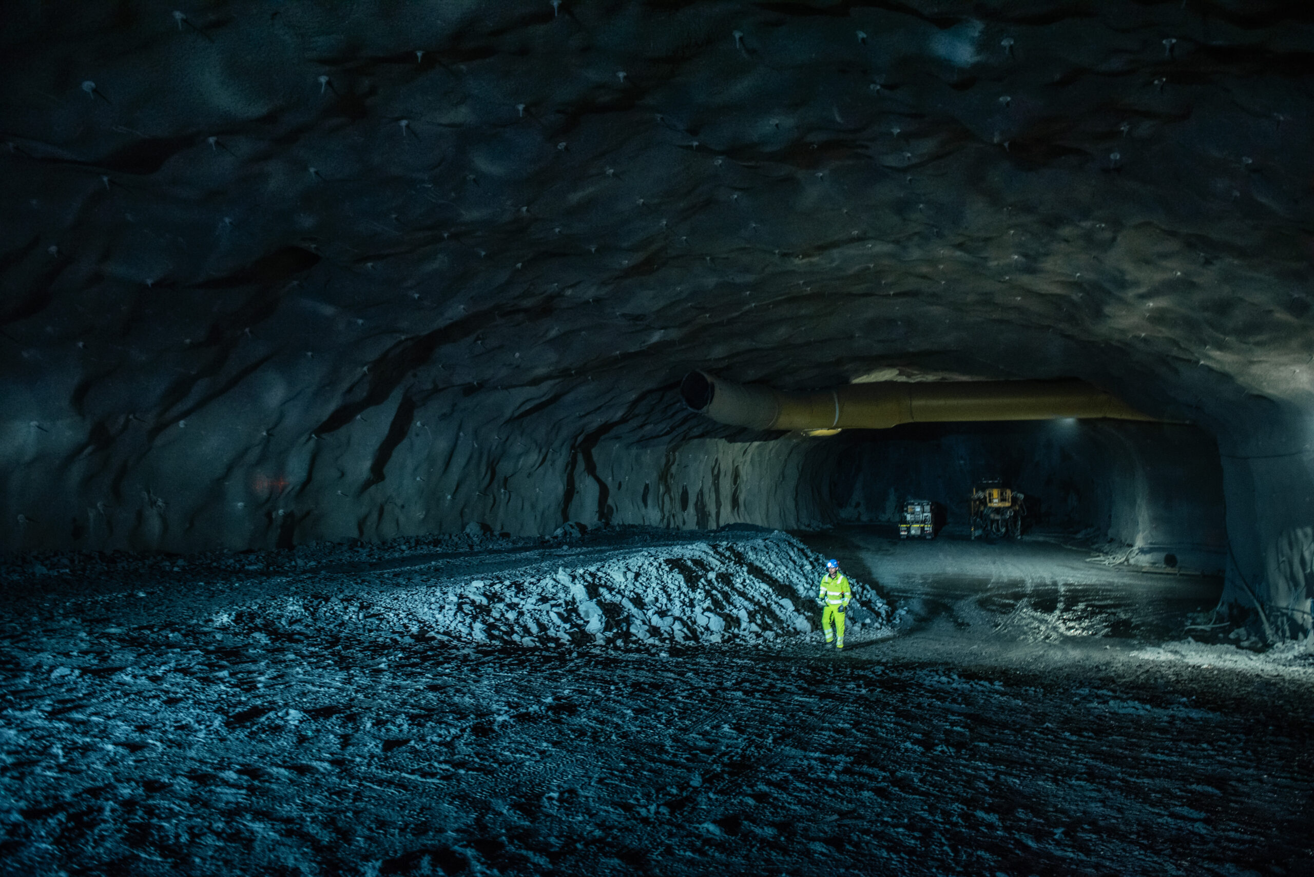
Man in protective gear is shown in a large and dark tunnel.

Fornebuporten station hall under construction.

Photo: Fornebubanen / Nicolas Tourrenc

This is the public transport of the future

2022 was the year when the whole country became familiar with the Fornebu Line, an important new branch of the city’s metro network. Early in the year, an external quality assurance of the project showed that the allocated cost framework was likely to be exceeded, as the Fornebu Line pointed out early on. While ongoing work and signed contracts were allowed to continue, parts of the project were paused.

After political negotiations and increased landowner contributions, the Municipality of Oslo and the County Municipality of Viken decided to continue construction in June 2022. New funding thus ensures the realisation of the largest expansion of the metro in decades.

The Fornebu Line Agency is responsible for the development. More than two kilometers of tunnel have been blasted for the Fornebu Line in 2022. The part of the line located in the Municipality of Bærum is nearing completion, and the work will continue in full force in 2023.

When the Fornebu Line opens, the plan is that there will be fewer buses between downtown Oslo and Lysaker/Fornebu. The NPRA is responsible for planning a new bus terminal at Lysaker so that buses can turn around at Lysaker. The regulatory work is well underway and will continue in 2023.


Facts about the Fornebu Line:

  • The Fornebu Line is a new metro line between Fornebu and Majorstuen
  • The distance is approx. 7.7 kilometers
  • The entire stretch runs in a tunnel
  • Six new metro stations will be built between Majorstuen and Fornebu
  • The travel time from Fornebu to Majorstuen is estimated at 12 minutes
  • Planned opening in 2029
  • From Majorstuen, the Fornebu Line continues towards the city center and eastwards
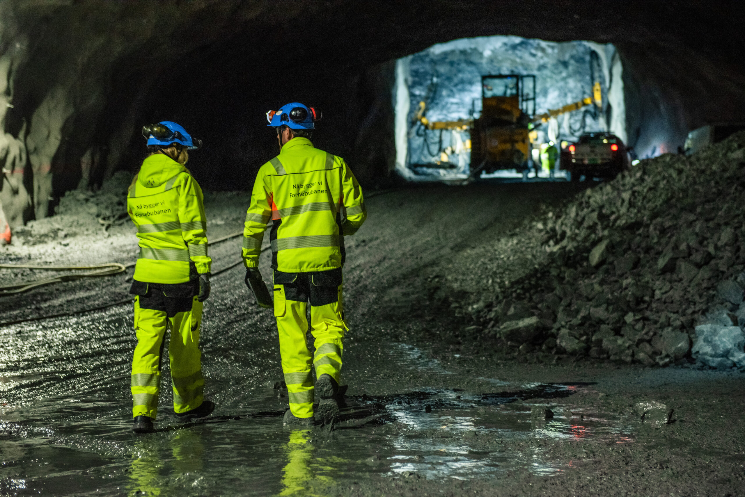
Two men in yellow and blue protective gear are talking in a tunnel. They are placed in the foreground of a truck and a car.

Photo: Fornebubanen / Nicolas Tourrenc

In 2021, Sporveien signed a contract with Siemens Mobility for the delivery of a new and modern signalling system to digitise and streamline the Oslo metro system. In 2022, work on the development and design of the system has started in earnest.

The new system is based on Communication Based Train Control (CBTC) technology and will use the public mobile network to control the metro. Sporveien has signed agreements with Telia and ICE to ensure stable operations. Work is now underway to ensure good coverage along the entire metro network – including in the tunnels.

Sporveien is doing preparatory work to receive the CBTC system, both internally within the organization, and physically along the track. Installation work will begin in 2023. The first metro trains will also be equipped with CBTC equipment.

TheCBTC system will increase the capacity of the metro tunnel through downtown Oslo and is therefore of crucial importance for other major public transport initiatives, such as the Fornebu Line and the new metro trains. The CBTC project is coordinating with the Fornebu Line to ensure that there will be room for the Fornebu Line trains in the current downtown tunnel when the line is ready.

It was desirable that Majorstuen Station should be built completely new for the opening of the Fornebu Line. The station was to be placed underground with four tracks, and a new city neighbourhood would be built above the station.

Within the framework of Oslo Package 3, no money was found to build a new Majorstuen Station. However, the current Majorstuen Station will be upgraded for the opening of the Fornebu Line, so that the station has the capacity to handle increased traffic when the Fornebu Line opens.

There is still a need to lower the station and track area. This is in preparation for a future new metro tunnel through downtown Oslo, to unlock the great urban development potential, reduce the barrier effect, create better coherence in the blue-green structure – and not least expand the capacity of Majorstuen Station, which – even after the temporary improvements – will still be a bottleneck in the metro network.

A new metro tunnel through the city center will enable all metro lines to run at a higher frequency and with greater capacity. This provides a great platform for continued urban densification and development of areas around all of the city’s over 100 metro stations. The new metro tunnel will establish new stations in the city center, close to Bislett Stadium and Nybrua in Grünerløkka.

The first phase of building the new metro tunnel will be the rebuilding of Majorstuen station. The capacity of Majorstuen station will have to be increased within only a few years if we are to increase the number of departures on the suburban lines that need it the most.

New travel habits after the pandemic mean that Ruter will further consider when the new tunnel needs to be in place, but preliminary assessments suggest that it should be completed around 2040.

Facts about the new metro tunnel

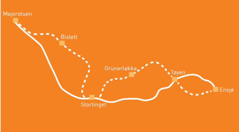
  • New metro tunnel from Majorstuen via Bislett, Stortinget (the Norwegian Parliament), and Grünerløkka at Nybrua to Tøyen
  • New stations at Bislett and Grünerløkka at Nybrua
  • Rebuilding Stortinget station and expanding Tøyen station
  • Doubles the capacity of the metro system
  • Preliminary estimated cost: NOK 17 billion (2021)
Illustration of map for new subway route with a dotted line of the route for new stops. A clean line shows the route as of today.

Illustration: Ruter

The metro trains need a place to stand at night. A place where the trains are washed and repaired so they can provide a good public transport service every day. A new metro base is being built at Fornebu for the new trains purchased for the Fornebu Line.

Future expansions of supply necessitate new bases. In a conceptual study that looks more closely at where a new base should be located, the recommendation is that it should be located along the Grorud Line. Several relevant locations and solutions have been identified.

The report has not yet been dealt with politically. With political support for the proposal, work on preparing a zoning plan could start. A preliminary project must then be prepared before a building permit can be obtained. The actual development is many years ahead, but if we wait to start planning until we need new bases, it is too late.

The zoning proposal for a tram to Tonsenhagen was submitted for political consideration in 2015. The NPRA had submitted an objection to the proposed plan, and it was never dealt with politically. Since then, the dialogue needed to find a solution has not resulted in a solution.

Ruter was therefore commissioned in June 2022 to prepare an updated zoning proposal for the trams that run along Trondheimsveien, but the plan will be completed at Bjerke. The tram to Bjerke can relieve or reduce the need for tram traffic through Storokrysset.

Ruter has been working on updating the zoning proposal throughout 2022.

The Oslo-Navet Concept Evaluation Report recommended building a new tram line on Ring 2. On behalf of the City Council’s Department for Environment and Transport, Ruter continues to work on the public transport route on Ring 2. The work is divided into two stages:

Phase 1 is a simplified concept evaluation report with a view to clarifying transport needs and the nature of operation, as both tram and high-capacity buses may be relevant to serve the route running from Majorstuen – Carl Berners plass – Hasle – Helsfyr – Bryn. Concept evaluation work has taken place in close cooperation with the Agency for Urban Environment, Sporveien and affected operators.

Phase 2 is the follow-up of political guidelines with further regulation based on the desired alternative.

Investments in public transport in 2022

Overview of investments in public transport in Oslo and the Akershus part of Viken in 2022, financed through the Urban Growth Agreement, Oslo Package 3, Municipality of Oslo, County Municipality of Viken and for operations of Ruter/Sporveien: